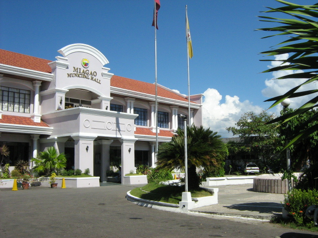
About Miagao
PHYSICAL RESOURCE PROFILE
The Municipality has a total land area of 15,722.04 hectares. The poblacion, composed of eight (8) barangays, has an area of 299.54 hectares and the remaining 111 barangays has a total area of 15,422.50.
Miagao, a brief History
Miagao became an independent Municipality in 1716. It used to be a part or arrabal of four (4) different towns. Record shows that before Miagao became a town, it was an arrabal of Oton until 1580; of Tigbauan until 1952; of Suaraga or Suaragan (now San Joaquin) until 1703; and of Guimbal until 1716 when it became an independent town. It was until 1731, however, when Miagao had its own head. Read more: Miagao, a brief History

Municipal Profiles
Religious Heritage
Historical Heritage
News & Announcement
Miagiao, Philippines
Read More About Miagao
MIAGAO READIES FOR CDSA
Members of the Local School Board, headed by Mayor Richard Garin, convened to discuss the support the local government will provide to the athletes and participants in the upcoming First Congressional District Association Meet scheduled for January 2025.
MDRRMC LEADS COMPREHENSIVE SAFETY DRILL FOR ISAT U FACULTY AND STUDENTS
On November 14, 2024, the Municipal Disaster Risk Reduction and Management Council, under the leadership of Engr. Franco Carlo Monteclaro, successfully conducted a Comprehensive Earthquake and Fire Drill for the faculty and students of Iloilo Science and Technology...
Senior Citizen Payout – Day 3, November 14, 2024.
ASSISTANCE TO INDIVIDUAL IN CRISIS SITUATION’
The local government has consistently provided Assistance to Individuals in Crisis Situations (AICS) to Miagaowanons. AICS is one of the social welfare services offered by the Municipal Social Welfare and Development Office, with the strong backing of Mayor Richard...
BARANGAY VISIT TO BARANGAY BELEN
Mayor Richard Garin led the Responsabelng Gobyerno initiative to support the barangays. On November 12, 2024, the team visited Barangay Belen to present a check for the construction of barangay road and to disburse the barangay's share of the Real Property Tax. Mayor...
