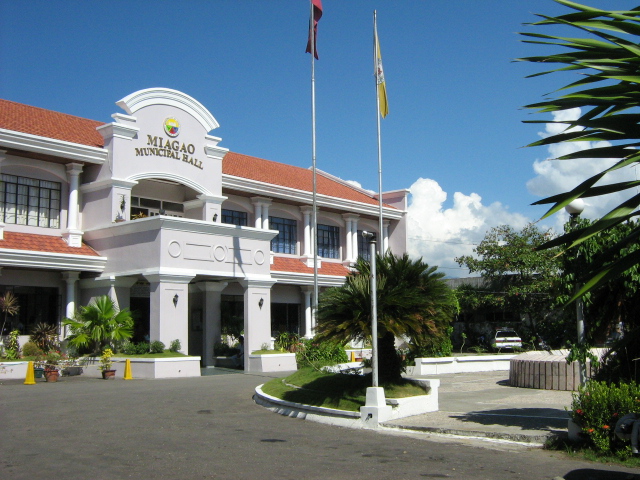
About Miagao
PHYSICAL RESOURCE PROFILE
The Municipality has a total land area of 15,722.04 hectares. The poblacion, composed of eight (8) barangays, has an area of 299.54 hectares and the remaining 111 barangays has a total area of 15,422.50.
Miagao, a brief History
Miagao became an independent Municipality in 1716. It used to be a part or arrabal of four (4) different towns. Record shows that before Miagao became a town, it was an arrabal of Oton until 1580; of Tigbauan until 1952; of Suaraga or Suaragan (now San Joaquin) until 1703; and of Guimbal until 1716 when it became an independent town. It was until 1731, however, when Miagao had its own head. Read more: Miagao, a brief History
Municipal Profiles
Religious Heritage
Historical Heritage
News & Announcement
Miagiao, Philippines
Read More About Miagao
BARANGAY VISIT, BARANGAY DUROG
On October 18, 2024, Mayor Richard Garin and the Responsableng Gobyerno Team visited Barangay Durog to deliver financial assistance for the rehabilitation of foot-walk. The team also provided the Real Property Tax share for the barangay, emphasizing the commitment to...
ZUMBA LADIES 11th YEAR ANNIVERSARY
We are excited to join you in celebrating the remarkable milestone of your 11th anniversary. Your commitment to promoting camaraderie and friendship in addition to physical well-being serves as an inspiring model for others. Congratulations on your achievements, and...
BARANGAY VISIT, BARANGAY NAM-O NORTE
On October 17, 2024, the Responsableng Gobyerno Team, under the leadership of Mayor Richard Garin, made a visit to Barangay Nam-o Norte. This visit served a significant purpose: to personally deliver a check providing financial assistance for the development projects...
PROJECT UPDATES
Graveling of the road in Barangay Maricolcol, Miagao. This is part of Mayor Richard Garin's commitment to enhance accessibility for residents, facilitating smoother travel and better connectivity within the area.
USAPANG BABOY
On October 17, 2024, the officers and members of the Miagao Hog Raisers Association, led by Mr. Alex Gabayeron, formally met with Mayor Richard Garin. The meeting centered around a crucial discussion regarding the a proposed project specifically aimed at acquiring...